Firehouse Software Spokane County, WA
 From Elk to Spring Valley and Deep Creek to Spokane Bridge, Spokane County is one of the most undoubtedly beautiful areas in the country. The area is synonymous with nature and the outdoors. Almost fifty miles of world-class mountain biking are available at Beacon Hill in Spokane Valley.
If that is not enough, there are another twenty-five miles of amazing mountain biking trails in the Mica Peak area and other mountain biking areas throughout the county. Of course, that is in addition to hiking, whitewater rafting, skiing, and fly fishing, among other outdoor activities.
Nature is not the only factor that makes Spokane County the fourth-largest in Washington. Excellent healthcare and education top the list, and when you add to it a strong economy, plenty of job opportunities, and friendly people, it is no wonder so many people are moving to the area.
With progress comes new residential and commercial properties, new roads, and building renovations. When everything is changing, one thing on which people count is that the fire department will be there when they need them.
For your firehouse, here is what you need to know about the software you need to take your response to the next level.
Spokane County Firehouse Software That Saves Lives
In the past, firehouses had to rely on software that was designed primarily with police departments in mind. The problem is that firefighters and paramedics need different information, drive larger units, and the clock is ticking on each call.
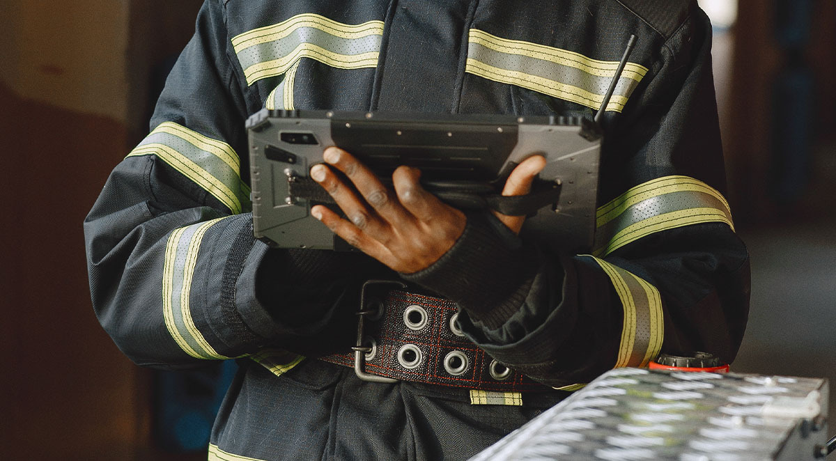
StreetWise® is a full-featured software suite designed specifically for fire and EMS departments. Finally, you have a solid choice when it comes to mobile apparatus software. You don't have to use software designed for police departments or a smartphone app designed for LEOs any longer.
An All-in-One Firehouse Software Solution
Our software is designed for firefighters and paramedics and serves as an all-in-one, comprehensive solution:
- Total Preplan Management: Our preplan wizard helps you quickly and efficiently gather pre-incident data that complies with NFPA 1620 stipulations.
- Notification & Mapping: Calls received from a client’s CAD to StreetWise interface are automatically sent to the assigned devices. The incident information is shown in a full-screen, easy-to-read display, complete with a call index.
- Navigation & Routing: At the touch of a button, calls are instantaneously mapped and displayed. Our software integrates with Google maps, satellite, and even street view options.
- Instant Photo Sharing: Simply point, click, and share without leaving the StreetWise app by using the table's built-in camera. Units in one part of a call can communicate up-to-date imagery to other units in the call.
- Live Unit Locations: For better coordination, see other apparatus displayed on the tactical map in real-time. Labels show your own vehicle names along with a variety of icons for different types of apparatus.
- Hydrant Display: On the street map, terrain view, or aerial image view, hydrants, and water points can be seen. Hydrant icons are interactive and can display data such as flow capacity, primary size, and location notes, among other things.
Spokane County Departments Use StreetWise®
Some of the Spokane County departments that trust StreetWise for their firehouse software include:
- Spokane District 10
- Spokane District 3
- Spokane District 8
- Cheney
If you are ready to improve your firehouse software with StreetWise, we would love to talk to you. Contact us for more information and a free demonstration of how our tablet and system can help your department respond to calls more effectively and efficiently.